Ecosystem Services Mapping Datasets
This page was edited by SE CASC staff to comply with UNC System and federal guidance; some original language was modified on January 12, 2026.
Project Information
Principal Investigator: Lydia Olander and Katie Warnell, Duke University Nicholas Institute for Environmental Policy Solutions
Proposed Project Completion: July 2024
Implements Science Plan Theme: Adaptation
Overview
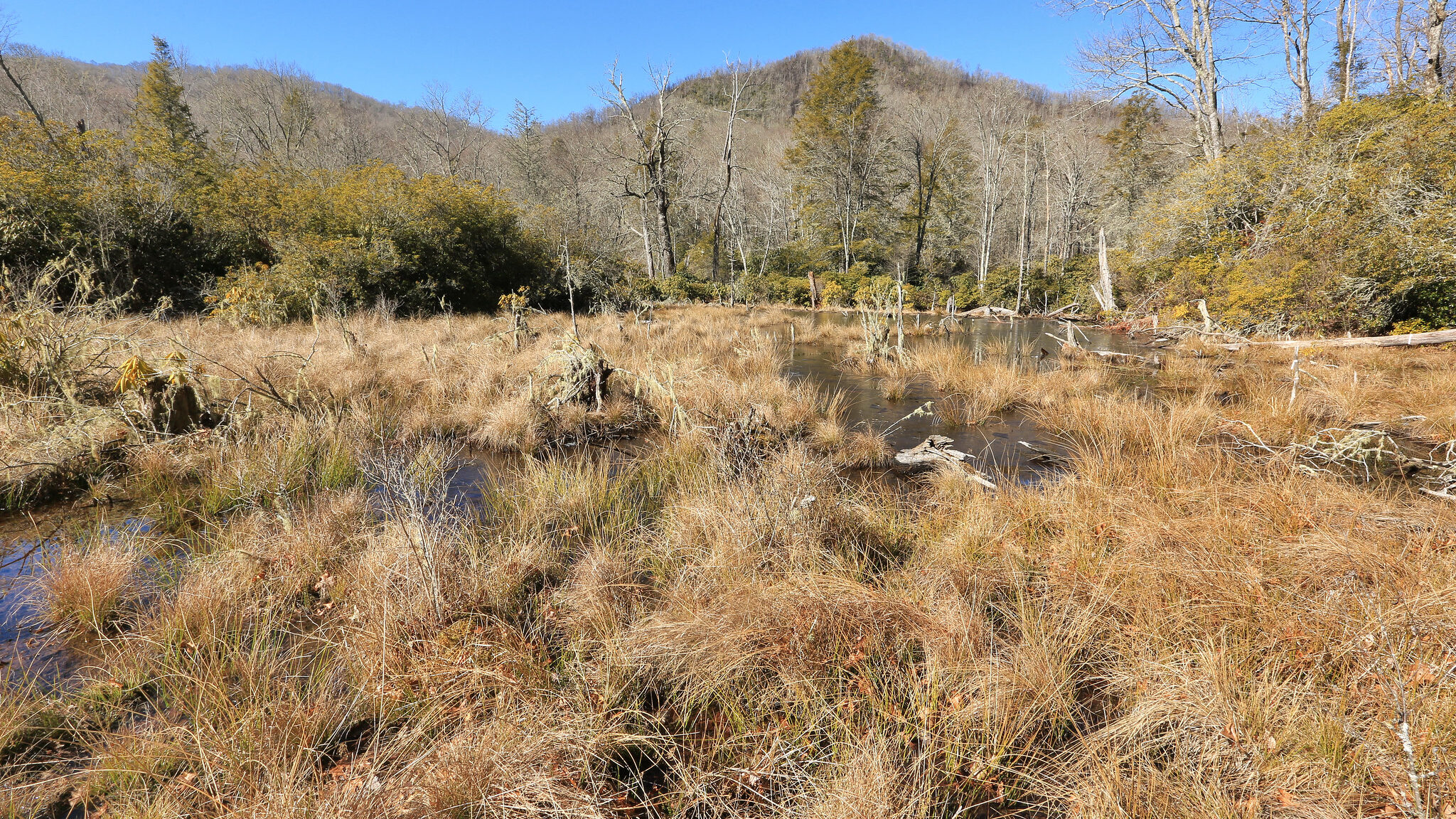
Ecosystem services, or the benefits that natural ecosystems provide to people, are inherently spatial, tied to the specific ecosystems that create them. Mapping where ecosystem services are abundant or in short supply and identifying what lands provide certain services is useful for a variety of purposes, including land-use planning and assessment of conservation and restoration priorities. This project maps current ecosystem services, potential for future changes, and opportunity areas for management actions to enhance or protect ecosystem services for the southeastern United States. Data from publicly available, national-scale sources were used wherever possible to allow the analyses to be easily adapted to other areas of the United States. Ecosystem services mapping was used in the following subprojects:
Subproject: Mapping Ecosystem Services for Natural Capital Accounting
The objective of this project is to map the supply of ecosystem services (where natural ecosystems have the capacity to provide a certain product or service that could be of use to people), use of those services (where people or other entities that use the product or service exist), and the condition of ecosystems providing these services over time. The resulting datasets were used to generate metrics for pilot ecosystem accounts for the Southeast – part of natural capital accounts that assess ecosystems’ contributions to the economy in order to help governments better understand their reliance on natural systems and manage natural resources to ensure their benefits are sustained into the future.
These data were also used to identify target areas for conservation (to preserve existing ecosystem services) and restoration (to enhance the supply of ecosystem services where they are needed).
Subproject: Natural and Working Lands Planning in North Carolina
The North Carolina Natural and Working Lands Action Plan, part of the North Carolina Climate Risk Assessment and Resilience Plan, was created in response to Executive Order 80 to identify opportunities for North Carolina’s natural and working lands, including farms, forests, and wetlands, to sequester carbon, support ecosystem and community resilience, and enhance the state’s economy. In collaboration with the North Carolina’s Natural and Working Lands stakeholder group, the Nicholas Institute helped to develop maps and recommendations for the Natural and Working Lands Action Plan related to managing lands in the state to enhance these benefits. Opportunity maps identified the geographic scope of many recommendations, the potential scale of carbon and resilience benefits from the recommended actions, and how recommendations overlap with areas important for other ecosystem services such as water quality and recreational access.
Subproject: Effects of sea level rise on coastal habitats and blue carbon
Sea level rise is likely to be a major driver of coastal habitat change in the coming decades, and therefore to influence the location and magnitude of ecosystem services provided by coastal habitats. We used a spatial model to map coastal habitat changes due to sea level rise in six mid-Atlantic states, including North Carolina, and translate habitat changes into effects on net carbon flux from the coastal zone.
More Information
Relevant webposts
SE CASC Supported Study Projects Increased Habitat Loss and Carbon Release in Coastal Marshes