Building Adaptive Capacity in Coastal North Carolina


This story was written by NCSU College of Natural Resources Communications and posted on October 10, 2017. The SALT project involves a multi-disciplinary group of CNR researchers including several SE CSC Faculty Affiliates – Marcelo Ardon Sayao, Ryan Emanuel, Chris Moorman, Erin Seekamp – and two Global Change Fellows – Paul Taillie and Georgina Sanchez (alumna).
Researchers Get SALT-y Over Climate Change
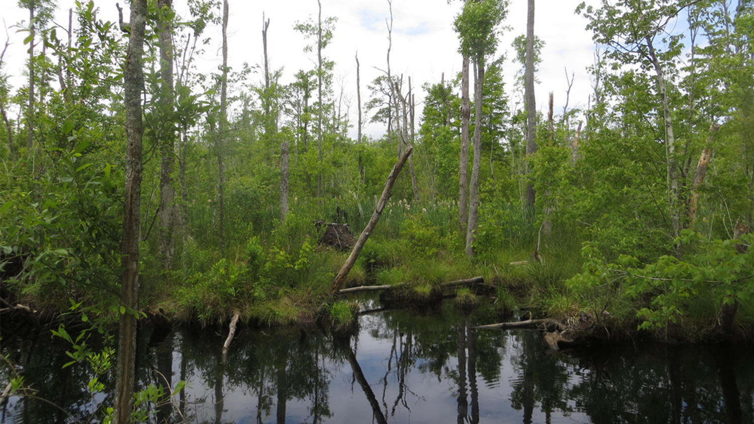
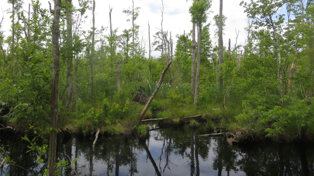
An interdisciplinary team of College of Natural Resources (CNR) researchers, like Center for Geospatial Analytics doctoral student Lindsey Smart, are studying the connection between rising sea levels and vegetation die-off along the NC coast as part of the Salinization, Adaptive Capacity Building for Land Use and Tourism Development (SALT) Project. Supported by the CNR Dean Innovation Fund and a $10,000 fellowship from NC Sea Grant / NC Space Grant, Smart and the team are focusing their research on “ghost forests” along the NC coastal plain, specifically the Albemarle-Pamlico Peninsula.
The Rise of Ghost Forests
As sea levels rise, the salty water creeps into new areas, which increases the salinity of the soil and kills off plant life associated with freshwater ecosystems, including whole forests. Vast areas of dead and dying trees are considered “ghost forests” and an indicator of changing soil chemistry. Plant species associated with salty brackish water then move in, changing the landscape of the area.
Areas like the Albemarle-Pamlico Peninsula, with many ghost forests, are considered the leading edge of climate change, according to Dr. Ryan Emanuel, Associate Professor in Forestry and Environmental Resources, and Dr. Marcelo Ardon-Sayao, Assistant Professor in Forestry and Environmental Resources. Their SALT Project research is supported by a $1.5 million NSF Coastal Science, Engineering and Education for Sustainability (SEES) Collaborative Project grant with NC State, UNC Chapel Hill and Duke University.
Sea level rise not only creates ghost forests, but also higher water tables and higher high tides in affected areas. Rural coastal areas, like the Albemarle-Pamlico Peninsula, heavily rely on industries like forestry, agriculture and tourism, which are all closely linked to the environment and are directly affected by sea level rise.
“Our project seeks to simultaneously investigate how the natural environment will change, and how the people living, working and visiting these areas will respond, recognizing that humans and the environment are inherently linked in rural communities,” said Erin Seekamp, Associate Professor in Parks, Recreation and Tourism Management, and co-PI for the SALT project.
“The Albemarle-Pamlico Peninsula (APP) is already experiencing the effects of climate change as brackish water migrates inland during coastal storms, times of drought, and the gradual influence of sea level rise,” Seekamp continued. “Timber and crop production, ecosystem processes and services, and nature-based tourism are all affected by salinization of freshwater resources across the region. As such, the environmental changes associated with rising sea levels are likely to become one of the most pressing issues facing the residents of rural coastal areas like the APP.”
Smart Research
During her NC Sea/Space graduate research fellowship, Smart plans to show just how much vegetation has been lost during the past decade in the sensitive APP environments and whether that loss is directly related to changing salt levels. To do this, she will produce high-quality maps that will point out where landscape plants are dying, highlighting the areas that will be of most concern to local landowners.
Her maps will be based on sophisticated models that she develops using a variety of data. Her approach is particularly unique, as she combines fieldwork on the ground with large datasets collected from the air, with both types of information spanning multiple years. At individual plots, vegetation measurements go hand-in-hand with soil samples. Data from these plots will then be used to interpret LiDAR (Light Detection and Ranging) survey data, gathered statewide in 2003 and 2014 by planes as part of the North Carolina Floodplain Mapping Program.
When her research is complete, Smart intends to meet with local landowners during workshops on the coastal plain, showcasing the model she developed and highlighting which private lands she finds are most vulnerable to plant die-off from saltwater intrusion. Ultimately, “the research will serve as a decision-support tool,” Smart said, helping to guide discussions about adaptation strategies that landowners can adopt in the Albemarle-Pamlico region and in similar coastal areas.
A Team Effort
The team of SALT researchers at NC State also includes Chris Moorman, Professor in Forestry and Environmental Resources; Matthew Jurjonas, a Parks, Recreation and Tourism Management doctoral student; Paul Taillie, a Forestry and Environmental Resources doctoral student; Priscilla Morris, a Forest Biomaterials doctoral student; Georgina Sanchez, a Forestry and Environmental Sciences doctoral student; Abinash Bhattachan, a post-doctoral research scholar in Forestry and Enviornmental Resources. Jordan W. Smith joins the team from Utah State Univerity, where he is the Director of the Institute of Outdoor Recreation and Tourism and an Assistant Professor in the Department of Environment and Society.
To learn more about the SALT Project, visit their research website: http://ncsu-salt.weebly.com/
You can view the original CNR news post here.
- Categories:
