GIS Analysis of Pre-European Longleaf pine (Pinus palustris) Distribution and Community Variations

USGS Ecology Research Fellow, Sarah Midolo, is working on a GIS analysis that maps the historical range of longleaf pine (Pinus palustris) and uses soil data to identify different community variants within the entire range. The overall goal of the project is to apply these maps to conservation efforts and to provide a better understanding of the entire community’s relict historical conditions. This SE CASC supported research is guided by Dr. Adam Terando (USGS), Dr. Alexa McKerrow (USGS), Dr. Mitchell Eaton (USGS), and Dr. Jennifer Costanza (NC State).

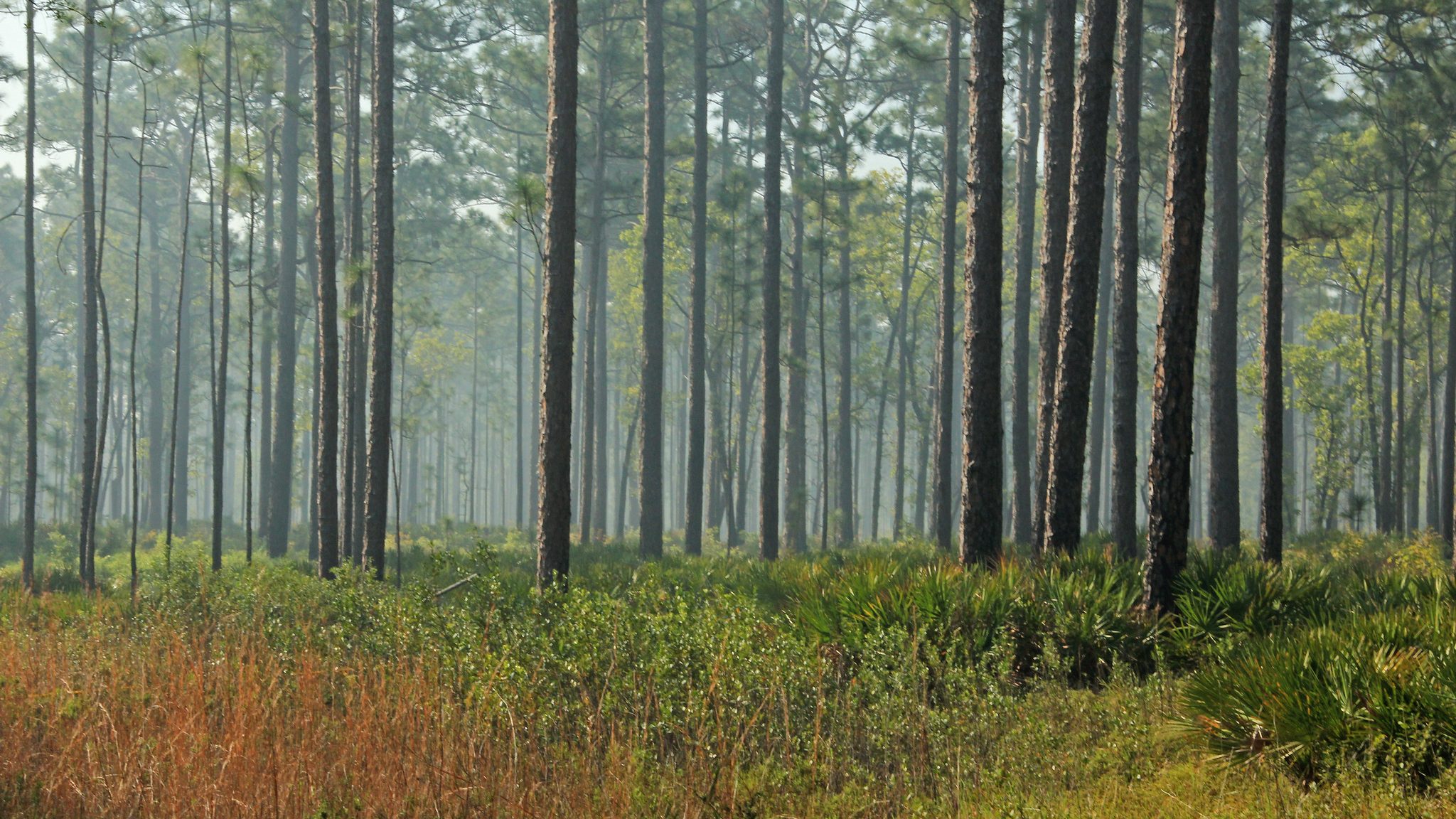
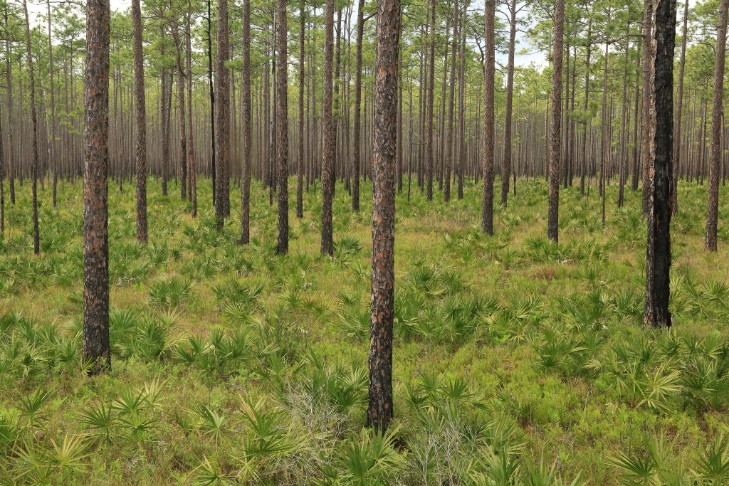
Forest conservation is dynamic and differs greatly among communities based on specific regional factors, including soil characteristics and vegetation. Longleaf pine (Pinus palustris) communities have a fragmented range spanning from southeastern VA, down to FL, and across to LA into eastern TX; they are unique ecosystems that require specialized conservation planning based on geographic variation. These communities are some of North America’s most diverse ecosystems and are home to threatened and endangered species. Longleaf pine systems are at great risk of extinction and loss of structure, due to a loss of fire regime, increases in urban development, and fragmentation. As ecosystem dynamics shift in response to anthropogenic impacts, these communities are forced to adapt or ultimately face extinction.
The objective of this project is to map the distribution of pre-European settlement longleaf pine communities in order to identify overlooked communities, quantify changes in landscape, update current community variant classifications, and ultimately promote conservation. The goal is to create quantitative maps outlining the locations of Longleaf pine community variations. By examining the patterns of pre-European settlement Longleaf pine forests, we will be able to better understand how the communities are adapting, or failing to adapt, to increases in anthropogenic influences and climate change.

The six longleaf pine community types being examined for community variants are: Xeric Sand Barrens and Uplands, Subxeric Sandy Uplands, Silty Uplands, Rocky and Clayey Uplands, Flatwoods, and Savannas and Seeps. Longleaf community variations are defined in part by differences in soil texture and soil moisture. We are currently compiling datasets of existing community types and landscape-level variables (including soil characteristics) within the longleaf range. We will then use the USDA soil database, SSURGO, to model the extent of potential longleaf pine communities using GIS technology. The model distributions will then be compared to a subset of plot data derived from VegBank.
Through this research, a quantitative method to map the distribution of longleaf communities will be developed. This will ultimately aid in conservation planning for these ecosystems, including the diverse flora and fauna that are part of these communities. This research is useful for decision makers engaged in longleaf pine restoration activities, as it can target different management or conservation actions depending on the geography of the historic community.
- Categories:
