Sea-level Rise Scenario Fact Sheets Win 2021 Shoemaker Award for Communication Product Excellence
Two-page fact sheets – products developed as part of SE CASC project, Communicating Future Sea-Level Rise Scenarios for Gulf Coast National Wildlife Refuge and National Park Lands – recently received recognition from US Geological Survey for communication excellence, receiving the 2021 Eugene M. Shoemaker Communication Award in the “small print” category. The Fact Sheets can be accessed in Resources on the SE CASC website and at the link below. The following announcement of the award was written by the National Climate Adaptation Science Center and can also be viewed here.
Researchers funded by the Southeast CASC and affiliated with the USGS Wetland and Aquatic Research Center won the 2021 Eugene M. Shoemaker Communication Award for the “small print” category. The research team, coordinated by Mike Osland and Bogdan Chivoiu with the USGS Wetland and Aquatic Research Center and funded by the Southeast CASC, developed 54 customized sea-level rise (SLR) two-page fact sheets for coastal federally-managed lands in the Gulf of Mexico region (Texas, Louisiana, Mississippi, Alabama, and Florida) to provide critical SLR scenario information for managers of national wildlife refuges, national parks, and national estuarine research reserves.
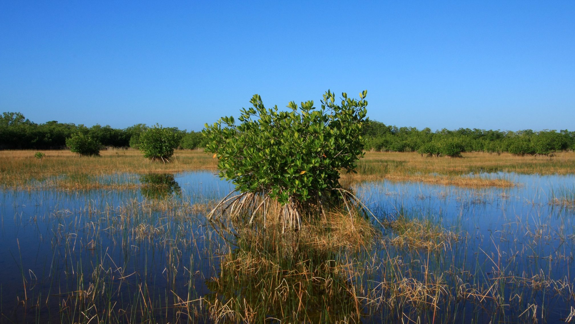
In parts of the northern Gulf of Mexico, high rates of land sinking (i.e., subsidence), can produce local SLR rates that are much larger than the global average and among the highest in the world. Therefore, managers in the region require SLR data that are available at a local scale. The fact sheets take this technical, regional scale data and transform it into an easily digestible summary at the individual park/refuge/estuarine scale. Each fact sheet compares SLR scenarios for each site to the global average, under six different scenarios through 2100: low, intermediate-low, intermediate, intermediate-high, high, and extreme SLR, and the probability of each scenario. The fact sheets also contain a map showing which areas of the site could flood (based on an intermediate SLR scenario), information on how to incorporate these scenarios into SLR planning, and the potential impacts of SLR on the specific mission of each federally-managed land. Through these fact sheets, managers of 54 federally-managed units are provided with local SLR projections that can be incorporated into short- and long-term planning to improve the resilience of their managed lands.
The fact sheets were developed in response to the needs identified by partners at the NOAA Northern Gulf of Mexico Sentinel Site Cooperative and the U.S. Fish and Wildlife Service’s Gulf Restoration Program. They were developed in close consultation with these partners to ensure that the fact sheets effectively responded to management information needs.
Project collaborators include: Bogdan Chivoiu (Cherokee Nation System Solutions at USGS Wetland and Aquatic Research Center), Mike Osland (USGS Wetland and Aquatic Research Center), Renee Collini (Northern Gulf of Mexico Sentinel Site Cooperative), Sara Martin (Northern Gulf of Mexico Sentinel Site Cooperative), Benjamin Wilson (USFWS), and John Tirpak (USFWS)
View the fact sheets >>
About the Award:
The Shoemaker Communications Awards highlight the importance of effective communication to the USGS mission. The Shoemaker Communications Awards were established in 1997 to recognize extraordinary examples of communicating and translating complex scientific concepts and discoveries into words and pictures that capture the interest and imagination of the American public and increase their knowledge and understanding of the USGS mission. Shoemaker Awards honor the best of the best when it comes to communicating USGS science to non-technical audiences.
- Categories: