Recording: Leveraging Geospatial Tools for Effective Environmental Planning – A Hurricane Helene Case Study

Wednesday, April 2 from 3-4:30pm ET
via Zoom
Abstract:
This Global Change Research Fellows hosted webinar include topics that incorporate geospatial tools in their research to investigate distinct environmental aspects linked to extreme climate events such as Hurricane Helene. The speakers will demonstrate how these tools can be applied to achieve shared environmental stewardship.
Speakers:
Bailey M. Magers
University of Florida, PhD Candidate in Environmental Engineering
Bailey Magers is a PhD candidate in environmental engineering from the University of Florida’s Engineering School of Sustainable Infrastructure and Environment. He is a member of Dr. Antarpreet Jutla’s GeoHealth and Hydrology Laboratory. His research and career focus are at the intersection of climate and health, looking to develop tools for mitigation of diseases.

Kyla Drewry
Northeastern University, PhD Candidate in Civil & Environmental Engineering
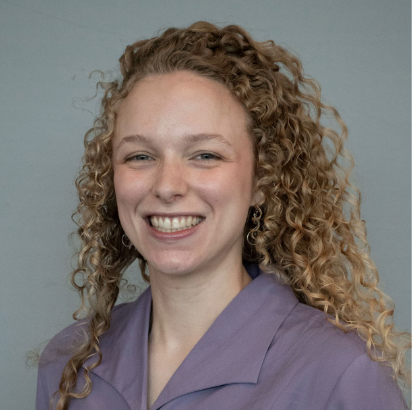
Kyla’s research focuses on private well water quality, disaster response, and community science. She has collaborated with North Carolina Department of Health and Human Services as part of a transdisciplinary team. She analyzed testing and flooding data after Hurricane Florence, led a free well water sampling campaign in eastern North Carolina after Hurricane Debby, and has most recently been involved with Hurricane Helene response.

Margaret Lawrimore
NC State University, PhD Candidate in Geospatial Analytics
Lawrimore is interested in human-environment interactions including quantifying the impact of public policy on the built and natural environment. Lawrimore studies the environmental impacts of regional land change, focusing on how land use regulations and flood management policies affect historical and projected human land use. She holds a B.S. in Environmental Sciences with a concentration in Geospatial Information Science from NC State.

- Categories:
