Communicating Future Sea-Level Rise Scenarios for Gulf Coast National Wildlife Refuge and National Park Lands
Project Information
Principal Investigator: Michael Osland, USGS Wetland and Aquatic Research Center
Project Completion: March 2020. This project has now been completed.
Implements Science Plan Theme: Impacts
Cooperator: Renee Collini, Mississippi State University & Northern Gulf of Mexico Sentinel Site Cooperative
Overview
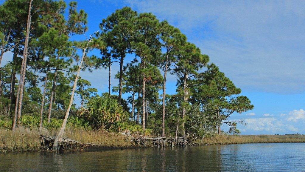
Low-lying public lands along the northern Gulf of Mexico coast are vulnerable to sea-level rise. Coastal planners and resource managers in the region have requested customized information that can be used to concisely communicate local sea-level rise scenarios and identify potential impacts to the missions of management agencies.
In this project, researchers worked with the Northern Gulf of Mexico Sentinel Site Cooperative to develop fact sheets outlining potential sea-level rise scenarios for the region through 2100, including their potential impact on the missions of federally-managed lands along the U.S. Gulf Coast. Researchers drew from existing information on regional and global sea-level rise scenarios to develop customized information sheets for 54 federally-managed lands in the region – National Wildlife Refuges, National Park Service lands, and National Estuarine Research Reserves.
This project was developed in response to a request for customized sea-level rise scenario products from partners at the Northern Gulf of Mexico Sentinel Site Cooperative and the U.S. Fish and Wildlife Service’s Gulf Restoration Program. The results of this project support the conservation stewardship missions of the U.S. Fish and Wildlife Service and National Park Service by providing science to inform management of its lands along the Gulf of Mexico.