Science to Support Adaptive Landscape Planning and Decision Making for Gopher Tortoise Conservation
Project Information
Project Timeline: September 2018. This project has been completed.
Principal Investigator: Clinton Moore, USGS Georgia Cooperative Fish and Wildlife Research Unit, University of Georgia
Implements Science Theme:
2: Land use and land cover change projections
4: Ecological research and modeling
Key Points
- Worked with state partners to promote conservation of the gopher tortoise
- Looked at spatial data in order to determine effective conservation areas and strategies
- Focused on preventing listing as a proactive strategy rather than a reactive strategy
Overview
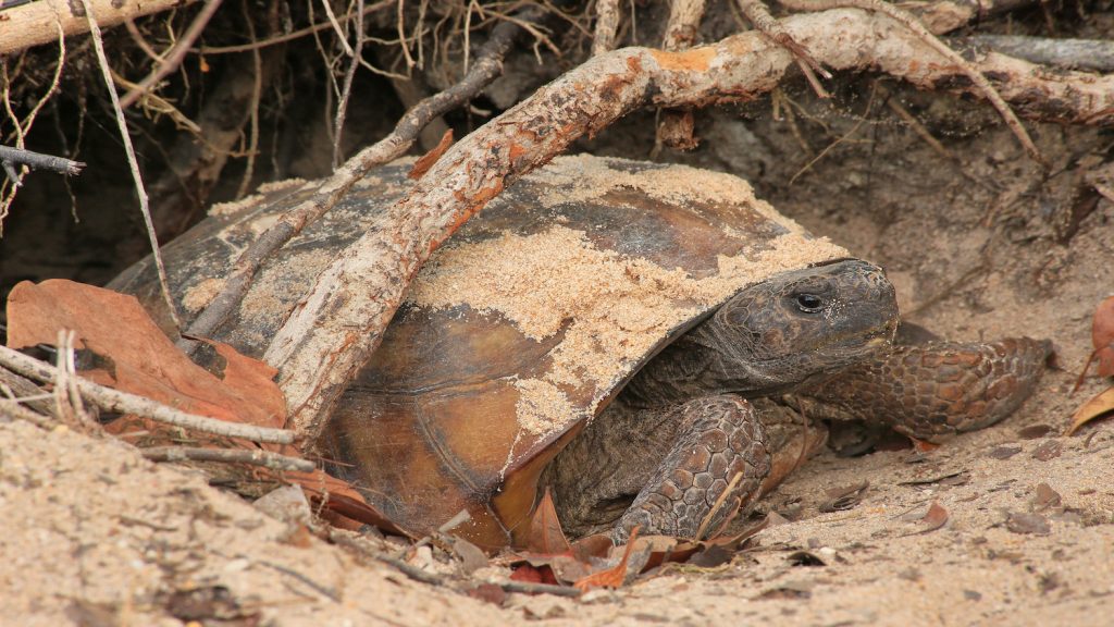
The gopher tortoise (Gopherus polyphemus) is a familiar species in the Coastal Plain of the Southeast. But, its population has declined significantly in recent decades. One reason is that much of its primary habitat has been replaced by development or agriculture. Another is that periodic ground fires have been suppressed in its habitat. Without these fires, tortoises do not always have food available to forage. The gopher tortoise is a “keystone” species that supports many other animals. For example, other species use underground burrows made by the tortoises. This means that its extinction would threaten other species in the ecosystem.
The gopher tortoise is being considered for listing under the federal Endangered Species Act. Federal listing could have wide impacts because gopher tortoises occur on many private lands. The protections that come from listing could affect the economy of the region and the livelihood of its citizens. The State of Georgia wants to conserve lands to protect tortoise populations. This would then make federal listing unneeded.
This project studied the life history and habitat preferences of the tortoise. We recaptured wild tortoises first tagged over 20 years ago. These data improved our knowledge about long‐term survival and movement patterns. Conservation agencies routinely make “snapshot” counts of tortoise populations using standardized surveys. We made models that show a population’s ability to grow based on these “snapshots” of population counts. We also made maps that project future ideal habitats.
Another project goal was to figure out how to create a network of conservation areas. We made algorithms that assembled land parcels into connected conservation reserves. The algorithm’s goal is to maximize suitable habitat while acquiring the least acreage. These conservation reserves should have a high ability for tortoise populations to grow. Our results will help the State of Georgia decide on conservation actions for this important species.