SE CASC Fellows to Present in Auburn University’s Geosciences Colloquium

Congratulations to three former Global Change Fellows who were selected to present at the Auburn University Geoscience Colloquium this fall! This is an excellent opportunity for these former and current students to share their research among the SE CASC Consortium network and to connect with scientists across the Southeast. Learn more about the Geoscience Colloquium and explore additional presentations here.
Developing river basin-scale connectivity between streamgages and reservoir networks
 Presented by Dr. Sudarshana Mukhopadhyay, Cornell University (Spring 2018 Global Change Fellow)
Oct 22, 2020 | 03:30 PM CT
Abstract:
Reliable operation of physical infrastructures such as reservoirs, dikes, nuclear power plants positioned along a river network depends on monitoring riverine conditions and infrastructure interdependency with the river network, especially during hydrologic extremes. Developing this cascading interdependency between the riverine conditions and infrastructures for a large watershed is challenging, as conventional tools (e.g., watershed delineation) do not provide the relative topographic information on infrastructures along the river network. Here, we present a generic geo-processing tool that systematically combines three geospatial layers: topographic information from the National Hydrographic Dataset (NHDPlusV2), streamgages from the USGS National Water Information System, and reservoirs from the National Inventory of Dams, to develop the interdependency between reservoirs and streamgages along the river network for upper and lower Colorado River Basin (CRB) resulting in River and Infrastructure Connectivity Network (RICON) that shows the said interdependency as a concise edge list for the CRB. Another contribution of this study is an algorithm for developing the cascading interdependency between infrastructure and riverine networks to support their management and operation.
Connection details
Culture Killer: The Impact of Climate Change on Gullah/Geechee Farmers on the South Carolina Coast Since 1980
 Presented by Andre L. Taylor, North Carolina State University (2018-2019 Global Change Fellow)
Nov 5, 2020 | 03:30 PM CT
Connection details
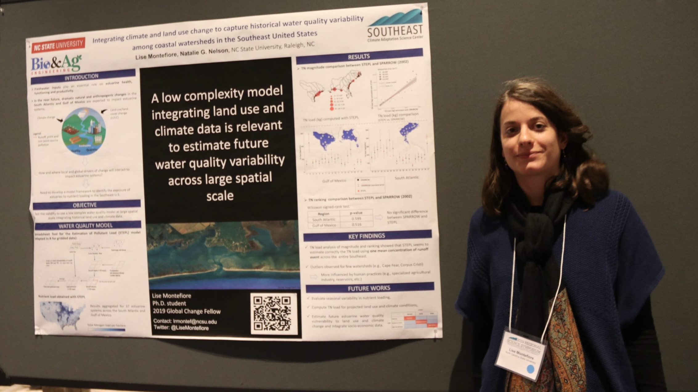
Mapping the historical growth of swine CAFOs in North Carolina through analysis of long-term satellite images
 Presented by Lise Montefiore, North Carolina State University (2019-2020 Global Change Fellow)
Nov 12, 2020 | 03:30 PM CT
Abstract:
North Carolina (NC) experienced a dramatic increase in swine production throughout the 1980s and early 1990s. Swine are usually raised in concentrated animal feeding operations (CAFOs), which generate large volumes of manure that are stored in one or several open-air lagoons and later distributed over spray fields. Swine CAFOs were constructed mainly prior to 1997, at which time a moratorium was placed on the construction or expansion of hog farms and lagoons in an effort to regulate the growth of the industry. In order to better characterize the effects of swine CAFOs on surrounding landscapes, more information is needed on the locations of CAFOs, as well as the ages of existing operations. In this talk, we present a methodology that reconstructs the historical expansion of swine CAFOs across the NC landscape through the analysis of satellite imagery, specifically from Landsat. We will highlight the use of Google Earth Engine, a geospatial processing service. Knowledge on CAFO ages can increase understanding of CAFOs’ long-term impacts on natural resources and provides useful information that can be used as inputs for environmental simulation models.
Connection details
- Categories:
